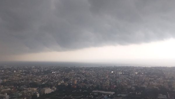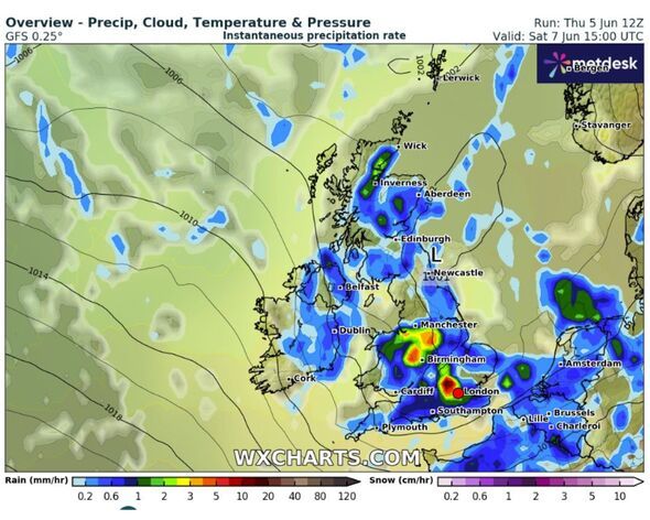
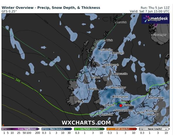
will be blasted by as the latest show a massive 687-mile rain bomb hammering into the UK in hours. WXCharts weather maps have turned blue, indicating the chances of heavy precipitation across various parts of the country from Wick to Southampton on Saturday (June 7).
The weather maps, which are compiled using the data from MetDesk, show that areas around Manchester, Birmingham, and London will be the worst impacted by the heavy showers. The rainy conditions are also likely to bring a bit of colder air across the country as the temperatures may plunge to 7-8C, the weather maps have suggested.
It comes as the Met Office has forecasted blustery showers and heavy rain with occasional hail and thunder from the start of June.
The Met Office's forecast for the weekend reads: "Heavier and more frequent showers likely on Saturday, with hail and thunder possible. Drier on Sunday, before further rain in the north on Monday. Often breezy and feeling rather cool."
Meteorologist Clare Nasir said there would be "more wet weather on its way into the early hours of Thursday morning", adding that "the rain then gradually tracks towards eastern counties through the morning. A stronger wind, particularly across channel coasts and some showers to follow."
She said: "This band of rain will mean some wet weather through the first part of Thursday."
Joe Farrow, a meterologist from Netweather.tv said: "The signal for a low pressure on Saturday is strong. There is slight uncertainty about the exact timing of its sweep across the UK.
"However, there will be heavy downpours, the risk of hail and thunderstorms, and large puddles for England and Wales, with hefty downpours for Scotland.
"The different models have different grid resolutions when looking three days ahead, and so on, the UKV model above you can see distinct shower detail. The GFS (top) has less subtlety, whereas the ECM model shows some of the heavier bursts and shows a more showery nature.
"Showers will be slow-moving over northern Britain in light winds but it will be windy further south, especially along the south coast. Later in the day, a dig of cold northerly air will bring clearer skies to Northern Ireland as the showers move eastwards."