The Met Office has issued a yellow weather warning for thunderstorms covering a large chunk of the UK later today. The national forecaster has slapped the seven-hour alert on three regions: North East England, Dumfries, Galloway, Lothian & Borders, and Central, Tayside & Fife.
Weather experts predict that power cuts are likely, while weather alerts add that "slow-moving heavy showers and thunderstorms may lead to some travel disruption and flooding in a few places" between 11am and 6pm today. It stated: "Possibly some flooding of a few homes and businesses leading to some damage to buildings or structures as well as some damage to a few buildings and structures from lightning strikes."
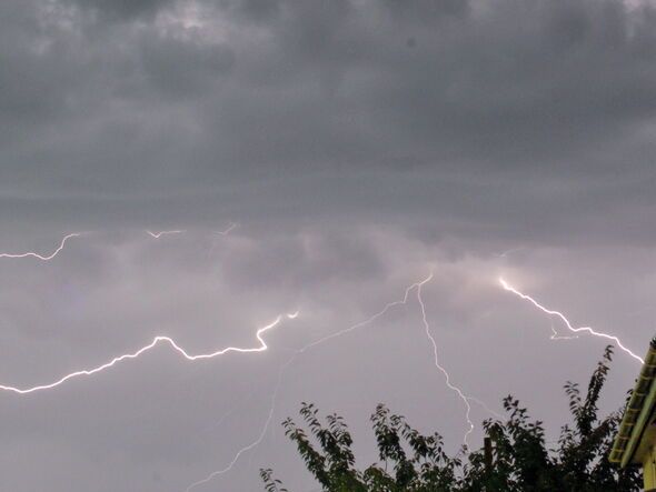
The Met Office explained: "Heavy showers and some thunderstorms are expected to develop across parts of southeast Scotland and northeast England on Wednesday, clearing east into the North Sea later in the afternoon.
"Whilst some places may see relatively small amounts of rainfall, a few locations could see 15-20 mm of rain in an hour or less leading to some impacts from surface water flooding. Where several showers move over the same area, there is a chance of 20-30 mm falling in 2-3 hours."
The weather warning come a day after the UK recorded one of the hottest days so far this year, with the temperature levels soaring to 34.7C in London on Tuesday.
According to provisional Met Office statistics, England has had its warmest June on record, while the UK has experienced its second warmest since the series began in 1884.
Central, Tayside & Fife
Falkirk
Fife
North East England
Darlington
Durham
Gateshead
Hartlepool
Middlesbrough
Newcastle upon Tyne
North Tyneside
Northumberland
Redcar and Cleveland
South Tyneside
Stockton-on-Tees
Sunderland
SW Scotland, Lothian Borders
East Lothian
Edinburgh
Midlothian Council
Scottish Borders
West Lothian